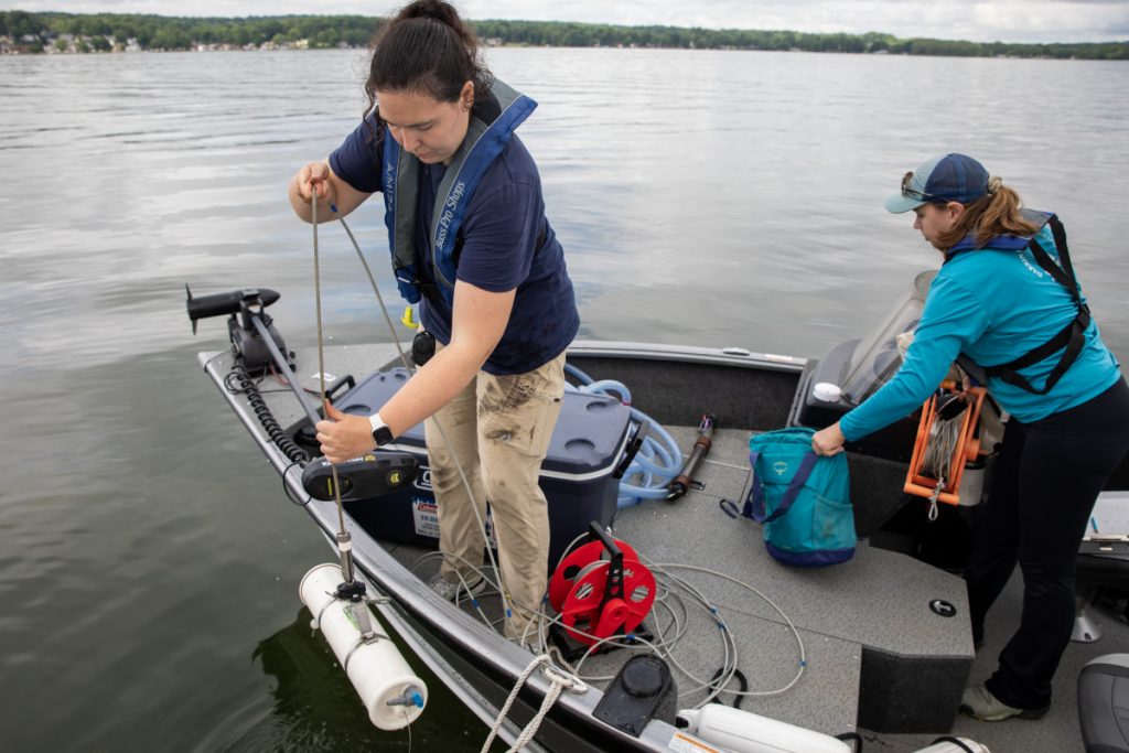


 Late in June 2016, I found myself tyrannized by the sweltering mid-morning heat of southern Alabama, as I joined members of the Mobile Bay National Estuary Program (MBNEP) on a trip to Baldwin County, Alabama, to witness a staggering site.
Countless soaring oak trees towered over us — or lay fallen atop great, rich mounds of earth, black with carbon. Dozers, diggers, and other mammoth machines trudged along acres of spectacular disarray, operated by hulking workers contracted by Goodwyn Mills Caywood and North State Environmental. Dust hovered about the air, either lifted by the barest of breezes from above – an odd presence that was nevertheless welcome – or raised by the sheer force from below.
All of this was, of course, blanketed underneath the sun hanging in the wide-open sky. An interesting introduction to the Mobile Bay’s watershed management project.
It is imperative that before going any further I explain, or at the very least outline, what a watershed is: a basin-like landform defined by highpoints and ridgelines that descend into lower elevations and stream valleys. Or, to simplify, a total area of land that drains into a body of water.
Watersheds are defined by Hydrologic Unit Codes (HUCs). Coastal Alabama, for example, is made up of 31 HUC-12s (Hydrological units made of 12-digit codes categorizing these specific areas of land made up of water systems – creeks, rivers, and streams – all feeding into a watershed), or cataloging units which serve as the sub-regions of sub-regions of sub-regions of regions of HUCs. (You can thank the U.S. Geological Survey for this madness.)
The Mobile Bay Watershed, which covers two-thirds of Alabama land area and portions of bordering states (Georgia, Mississippi, and Tennessee), is the 6th largest Watershed in America by area covered (42,662 square miles) and the 4th largest Watershed in America by water flow volume (62,000 cubic feet per second). That’s 28,000,000 acres covered and 460,000 gallons of water produced a second. Those water systems that make up those confusing Hydrological units mentioned earlier, all flow through, into, and out of the Mobile Bay, ultimately producing 15% to 20% of the nation’s freshwater.
So where does the national estuary program and their watershed management project fit into this?
MBNEP was founded in 1987 by hundreds of local minds of Coastal Alabama as means to include the community in environmental decision-making for their home. Since the 1970s, Coastal Alabama — like much of America — has seen a great deal of urban development, primarily due to resituating residents of Alabama making moves closer to the coast. Much of this development has seen an introduction of the following in dangerous amounts: hard surfaces, which increases the speed and volume of water through water systems; erosion and sediment displacement caused by the powerful water movement; and chemical run-offs, usually in the form of nutrient pollution (i.e., nitrogen and phosphorus). So, those 31 Huc-12s that make up Coastal Alabama carry in displaced sediments and nutrient pollutants in powerful moving water disrupting the nursery habitats that are the estuaries, further recede at-risk shorelines, and threaten the surrounding community’s way of life.
In response, MBNEP developed a Comprehensive Conservation and Management Plan outlining objectives over the course of a five-year period, most recently from 2013-2018, tackling the six common values ranked most important to the Coastal Alabama residences: Access (to water and open spaces), Coast (healthy beaches and shorelines), Fish and Wildlife, Heritage and Culture (connection between watershed and community), Environmental Health and Resiliency, and Water (drinkable, fishable, and swimmable).
The watershed management project is a facet of the comprehensive plan, and watersheds receive their own comprehensive management plan, which are prioritized by areas of most to least stressed – a set of characteristics outlined by the EPA – and are accounted for accordingly. Successes of the plans thus far include restoration of the D’Olive Creek watershed and the development of a comprehensive plan for the Three Mile creek watershed; both areas are prioritized as most stressed.
D’Olive Creek serves as a demonstration of the efforts of the bay’s national estuary program. Completing a comprehensive plan for the D’Olive Creek watershed in August 2010, the MBNEP made swift their efforts to begin implementation for their section of the plan concerning Joe’s Branch tributary, a section of the D’Olive Creek watershed beginning in Spanish Fort, Alabama, and extending to Daphne, Alabama.
A 25 step-pool conveyance system filled with a sand filtration matrix was completed in 2013 to bring an end to the transport of 100,000 tons of sediment per square mile carried along excessively into the Mobile Bay, triggered by collapsed banks in Spanish Fort in 2011. And while there have not been any exact numbers distributed, water quality flowing from Joe’s Branch has visually improved, and thanks to the step-pool conveyance system, the energy of water flowing down the 1,000-foot slope has been greatly reduced.
MBNEP continued progress this past year, completing restoration of the D4-D6, or Interstate-10 (the awesomely massive site I visited), tributary of the same D’Olive Creek watershed in August 2016. This site witnessed the construction of a 30-acre floodplain coupled with an elevated streambed which featured installed energy dissipating structures.
When speaking with the engineers on my visit to Tributary D4-D6 back in June, I learned of the important feature to their approach: taking notes from the planet; adopting an individualized engineering approach according to tributary. No design was the same, because no ecosystem is exactly the same. The planet is by far the greatest engineer we’ve witnessed. All that we find in nature, so staggeringly beautiful, ingeniously crafted, uniquely designed, but so universal in purpose – persisting life – was conceived by Earth, not by man. And as obvious as the idea may seem, it is clear just how important a role it plays, or should play, when one deals in matters concerning the planet. These projects were not a reconstruction, or a refashion, but a restoration – a return to the Earth to let it live.
">Late in June 2016, I found myself tyrannized by the sweltering mid-morning heat of southern Alabama, as I joined members of the Mobile Bay National Estuary Program (MBNEP) on a trip to Baldwin County, Alabama, to witness a staggering site.

Harrison R Watson
Jackson State University, Princeton University